Community
News to go: November 2, 2026
By Katherine Langford
Advertisement · Why this ad?
Katherine oversees editorial operations across all six brands. Before joining The Meridan Group, she spent 14 years at the Minneapolis Star Tribune, where she led the metro desk through its digital transformation. She holds a Master's in Journalism from Northwestern's Medill School.
More from Katherine →
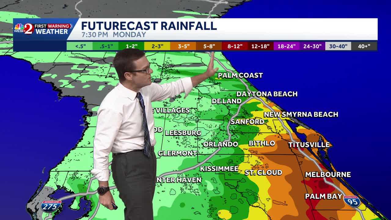
Good morning, everyone!We’re starting the workweek with an unsettled weather pattern across Northeast Florida and Southeast Georgia, with heavy rainfall and continued tidal flooding as our primary concerns through Monday.MONDAY – HEAVY RAIN POTENTIAL: A passing area of low pressure combined with an unusually moist atmosphere will support multiple rounds of showers and embedded thunderstorms. Rain chances increase throughout the day, with the greatest coverage expected during the afternoon and evening. The I-95 corridor, particularly coastal communities, will be a focus for locally heavy rainfall. Rainfall totals of 0.5–2 inches are possible, with isolated amounts approaching 3 inches. Localized flooding will be a concern in urban, low-lying, and poor-drainage areas, especially where heavy rainfall overlaps with high tide. Highs will reach the upper 70s, with breezy easterly winds at 10–15 mph and gusts approaching 25 mph.COASTAL FLOODING: A Coastal Flood Advisory remains in effect for